Pytheas arrives at the tip of Brittany after three days of sailing. There he discovers its inhabitants, the Ostimians, Cape Kabaion, which is perhaps the Pointe du Raz, and the island of Uxisama.
Here then is Pytheas on the coasts of Celtica. He names, after Strabo, kyrtoma, the great hump, whose length is not less than 3000 stades (F17). At its extremities there are numerous capes, and "particularly that of the Ostimians, which is called Kabaion, as well as islands of which, the furthest, Uxisama is three days' sailing away" (F17).
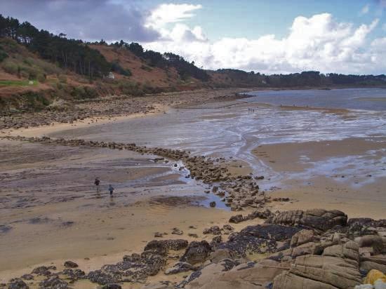 |
The Gallo-Roman Port of Yaudet in the Côtes d’Armor |
Strabo gets his information from Eratosthenes who himself got it from Pytheas. He will deny the existence of the Armorican peninsula, because it does not conform to his world. He will modify the outline, to bend Europe in the right direction. Later he writes: the Ostimians… “inhabit a promontory that projects them far into the ocean”, but he adds “not as far as he and the others have said” (F16), speaking of Pytheas.
This is the first time in our history that the Armorican peninsula (Brittany) is named, and with it, its inhabitants, an easily identifiable island, Ouessant, and Cape Kabaion. Which is it? The Penmarc’h peninsula or the Pointe du Raz? The advance of the Celtic is at least 3000 stades, or 470 km. From where was this distance evaluated. Perhaps on Pytheas' first voyage, by land from the mouth of the Garonne, which corresponds roughly to the real distance. But 470 km is much less than the real distance between the northwestern tip of Spain (Cape Finisterre) and the tip of Brittany, assuming that the pilot embarked for the needs of the crossing leads the expedition directly to Brittany, which the Phoenetians already seemed to do. Nevertheless, the duration of the crossing, three days (F17) corresponds quite well. Strabo in his world map will not take this peninsula into account, and it will not appear.
After the tip of Brittany, where does he stop? We know a measurement of latitude indicated by Hipparchus, in a modernized notation: 48°42'. This measurement, so far north, was only made by Pytheas with his portable gnomon.
How does he do it? The assumed height of the device is about 1 m. From then on, he only needs a small flat space towards the north since he will measure the length of the shadow at noon (the shortest shadow). Beforehand, he will have set up his device as vertically as possible. On returning to Marseille, he will only have to compare it with the length of the shadow on the same day of the year, and of course to bring it back to the length of that of the Marseille gnomon. The difference in length will be transformed into a fraction of the circumference, as for the measurement of the obliquity of the ecliptic. To know the latitude of the point, he will have to add it with the latitude of Marseille (the two fractions). Thus, it is not necessary to wait, for each measurement, for the day of the equinoxes
.
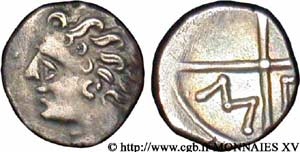 |
Massaliote drachma, coin of Massalia |
The latitude measurement made by Pytheas passes through the northern coast of Brittany. Strabo says "right on the ocean coast of Celtica". This corresponds to the Roscoff/St Brieuc area. Where did he install his gnomon? He certainly made a stopover there for several days. A gold coin from Cyrene (a Greek city in Libya) was found in 1959 on the beach at Lampaul-Ploudalmézeau. How this gold coin was preserved is a mystery. Can we deduce with certainty that it comes from the time of Pytheas? Another silver coin, Massaliote (a drachma) dating from the 2nd century BC was found a few km away on the banks of a small river. We deduce that trade with northern Brittany did indeed exist after Pytheas. Pytheas, following the tin route, is guided by a pilot who knows the coasts of the region. It therefore seems logical that he guides the expedition to the only active port for several centuries: Le Yaudet (which will be conquered by Julius Caesar 300 years later). It is probably in the surroundings that he made his latitude measurement. How long does he stay at the port? He explores the interior of the country to describe the life of the Ostimians and also visits the south of Brittany towards the Quiberon peninsula whose natives control the traffic of the entire peninsula, as well as the (mythical) city of Corbillon (H22), towards the mouth of the Loire. Here is what Stabon says about it: "But Pytheas had pushed the audacity to the point of inventing all that" (H22).
It is assumed that Pytheas speaks a minimum of the Celtic language or that he must have been accompanied by a translator. When he learns that the tin is coming from an island three days' sailing to the north, his decision is made. One of the goals of his voyage is nearby, and he boards a ship